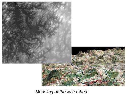
The GIS database creation for the Bidarkan watershed on 1:25,000 scale was taken up for creating basic information of the project area. The project involved digitization of thematic layers from the source map, GIS processing and database creation and generation of Digital Elevation Model using the contours from the source map. This project was carried out for CISED department of ISEC.

The project was done on 1:25,000 scale. The database would further be used as a base for watershed modeling studies.
