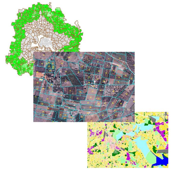
This Project was carried out for SCE as a part of the revision of the Comprehensive Development Plan of the Bangalore Development Authority. All the cadastral maps, about 500 villages, of the BMA were georeferenced and registered using very highresolution Quick Bird satellite images. The scope involved the delineation of the parcels under the green belt as per the BDA notification. Streams were interpreted from the images and were processed for continuity.

The other layers included village boundaries, and Hobli boundaries. These were edgematched with the villages adjoining the BMA area. The final GIS database comprised of cadastral maps with respective survey numbers for each parcel and villages with census details.
