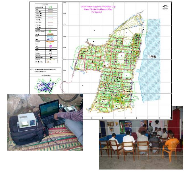
This project involved detailed mapping of Transmission and Distribution networks of water supply of ward 6, 7 and 8 of Madurai City. The project is being implemented for the Madurai City Corporation by M/s. Hydrocomp who are the project consultants. Apart
from using DGPS survey for benchmark establishment, total stations, high resolution satellite images – Cartosat of 2.5m resolution were used for preparation of the GIS database.

About 55km of pipeline distribution network has been mapped and all the consumer details have been collected and attached as attribute data in the GIS.