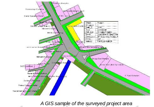
This project involved topographic survey for mapping of all the buildings, and Telecommunication utilities of Tata Tele Services Ltd. Detailed GIS based landbase was created for various parts of Bangalore and many other towns in Karnataka.

The survey was done using Total Stations and GPS. Individual floor wise details for each property / building was collected. This project was carried out for Tata Tele Services Limited for utilities management and customer service operations.