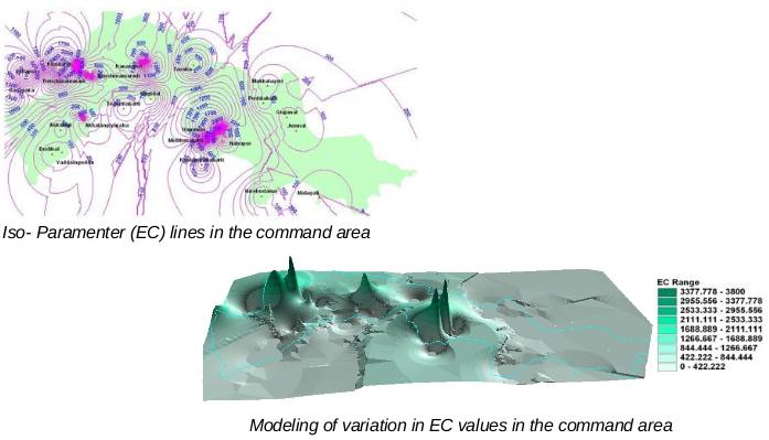
This project involved creation of a GIS database for the project area on 1:50000 scale. Field sampling data was incorporated into the GIS database with the locations of the sampling stations recorded using GPS. Soil and water quality analysis data was tabulated and the same was used for generation of iso-parameter lines for the project area.

Three-dimensional modeling of the values of all the parameters measured was carried out. Data collection is a periodic exercise and will be done every six months. This project was carried out for the Environmental Science Department of Bangalore University.