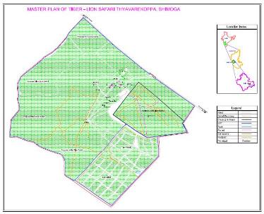
The Objective of the project was to prepare a GIS database for the Lion Safari Area using GPS survey and Satellite images. This project was carried out for the Forest Department at Shimoga.

The project involved mapping of all land features, roads, tracks
animal enclosures and other man made facilities. The data would be utilized to plan various activities as improvement initiatives.