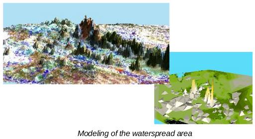
The purpose of the project was to delineate prospective zones for gold mining in selected blocks of the Gadag schist belt. The scope of the work included preparation of GIS database, generation of digital terrain models from test borehole data and airborne geophysical data, processing of digital images of the project area and use the same for interpretation of geological formations and structures. The project was carried out for MSPL Limited, Bangalore.

The data used in this used was satellite data of IRS1C PAN + LISSIII product, SOI topomaps, Data collected form Airborne Geophysical surveys - Aeromagnetic data, Thorium data, Potassium, Total Count data, Magnetic data. Data collected from test boreholes and Chemical data.