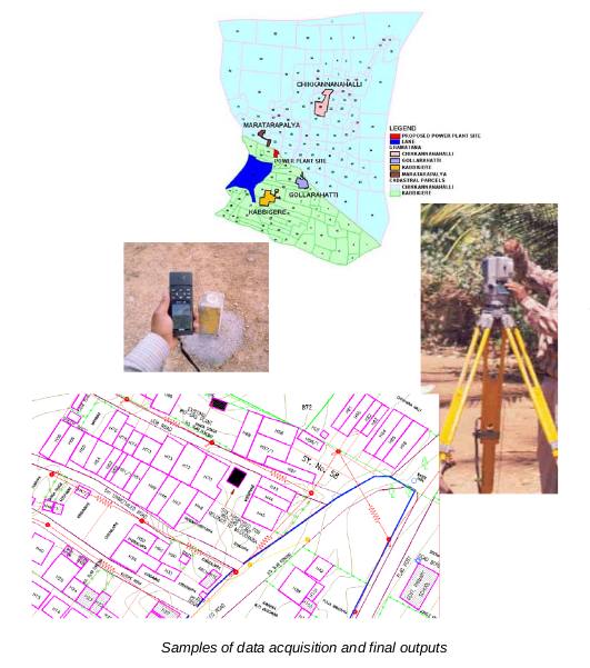
This project is being carried out for BERI (Biomass energy for Rural India) a UNDP and GOI funded project. The scope of work involves topographic survey of settlements in 25 selected villages in Tumkur district, Karnataka. The survey is being carried out using Total Stations and Global Positioning systems.Satellite images of IRS 1C LISSIII is being used to map the landuse landcover.

A GIS system has been built and primary household data related to power and availability of alternative sources for biofuel generation is being incorporated.