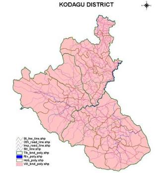
This project is being carried out for the Center for Environmental Education. It involves preparation of cadastral level GIS database for entire Kodagu district of Karnataka state.
Data of all the forests included sacred grooves is being incorporated.Data related to old traditional forest areas is being collected for incorporation into this GIS database. This project database is on 1:7920 scale.
